
Drone Photography for Construction: Progress Stills, Hero Shots and Video
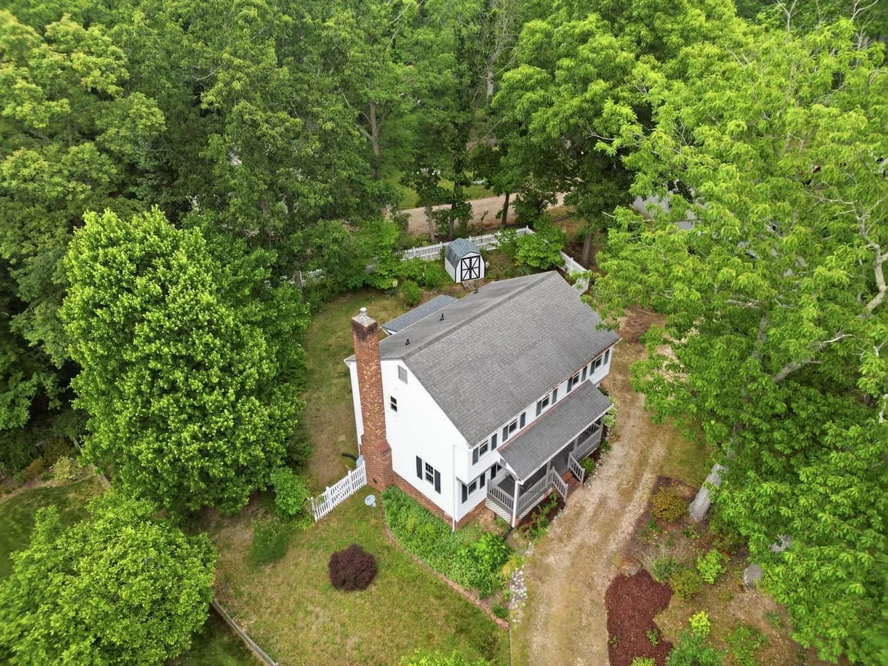
A drone shoot on a construction site is really a few different jobs under one name: progress stills, hero shots and video, plus mapping, which is a specialist job we leave to mapping firms. They take different amounts of air time and post work, and they answer different questions. Here’s how to tell which ones your project needs, what a shoot day involves, and what to check on airspace before you promise anyone a date in South Carolina or Virginia.
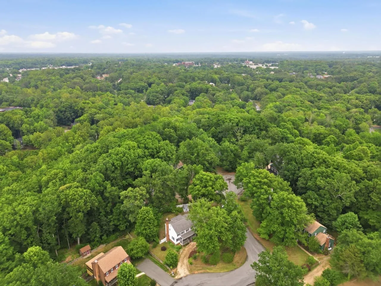
The four things a construction drone shoot can produce
- Progress stills. Fixed overhead and oblique angles, repeated on the same flight path every visit so the images stack into a timeline.
- Hero shots. The marketing frames: low sun, wide, clean. They end up on the website and in the pitch deck once the job is done.
- Mapping and measurement. A separate specialist job: grid flights that feed photogrammetry software and turn into orthomosaics, point clouds or 3D site models. We shoot the visual record. If a project needs measurable data, hire a mapping specialist or a surveyor, and ask how accurate the result has to be.
- Video. Orbits and flyovers for owner updates, investor reels or social. We cover that side in drone video for construction projects.
Most projects need the first two. Mapping earns its keep on larger sites, or when a GC wants measurable data instead of pictures. Be honest about accuracy, though. A map is only as good as the ground control behind it, so decide how precise it needs to be before you order one. Anything that has to hold up as a surveyed quantity belongs to a licensed surveyor.
Which one fits which stage
Here’s how a hypothetical mid-size commercial build might use them:
- Site prep. A set of stills as the baseline of existing conditions. If you need measurements of the ground, that comes from a mapping specialist.
- Foundation through framing. Progress stills from the fixed positions. This is the stretch where an honest record settles arguments about what got built when.
- Dry-in and exterior. Stills again, and a first hero set if the owner wants to start marketing.
- Completion. Hero shots at the right time of day, and video if the project will be shown to investors, tenants or buyers.
Cadence is what makes it a record
A high-angle photo used to be a production, so a project got one at groundbreaking and maybe one at topping out. Now a monthly or biweekly flight is easy enough to build a real timeline. Same altitude, same flight path, same time of day, month after month. Lined up side by side, those frames are the clearest progress record a project has.
What a shoot day involves
A shoot day starts on foot. The pilot walks the site, marks what the drone has to stay clear of, and agrees with the superintendent where the crew will be working. How long the flying takes depends on the footprint, whether video is included and what the wind does. The job doesn’t stop for the drone, so the pilot works around crane swings and delivery windows, not the other way around.
Where a drone helps and where it doesn’t
It beats the old ways on several fronts:
- Cost and setup. No crane, scaffold or lift rented just to get a high angle.
- Reach. Roofs, tall structures and rough terrain get covered without sending anyone up or out.
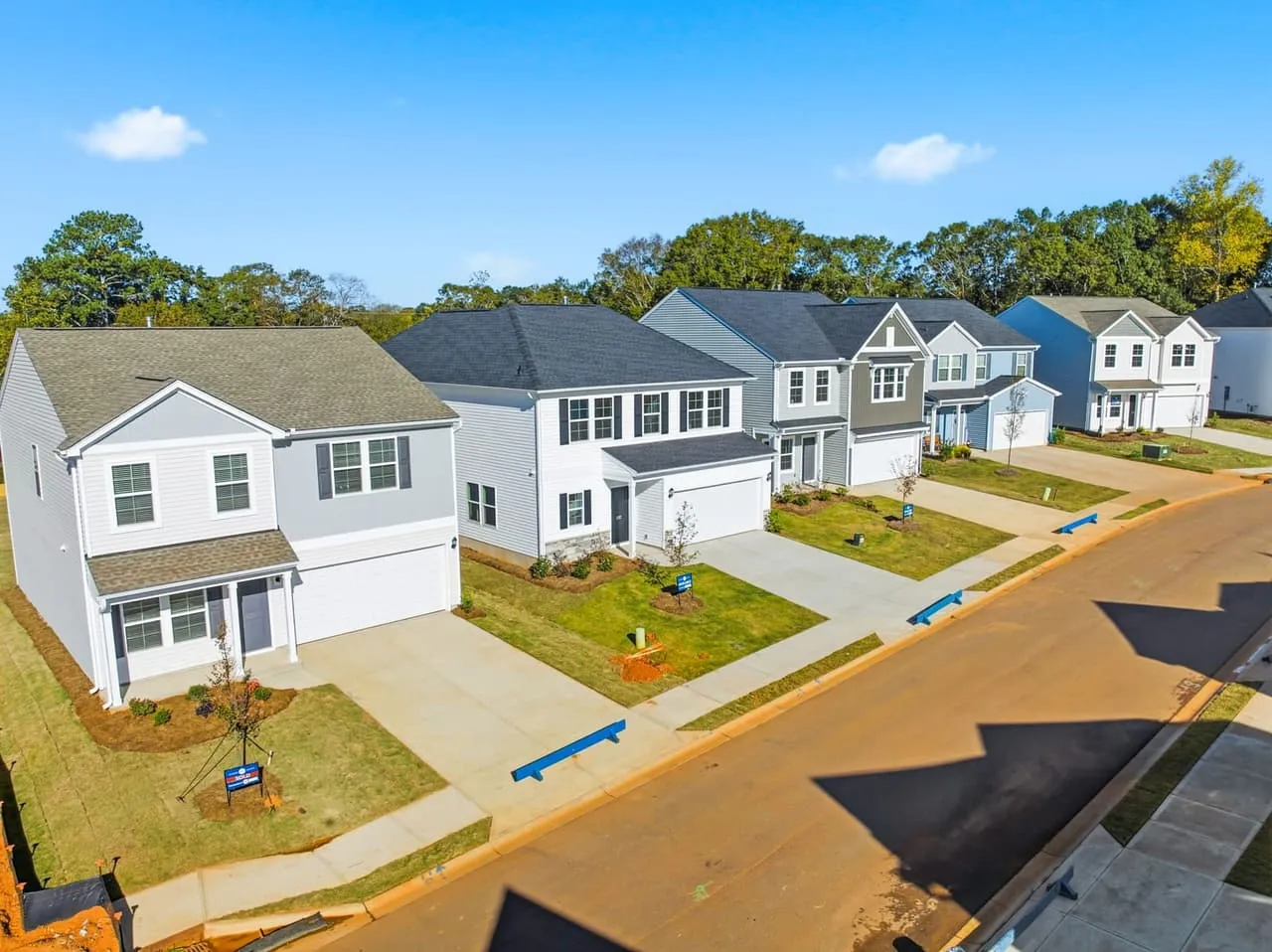
- Coverage. One flight takes in the whole footprint, then closes in on a single detail.
It doesn’t replace a ground photographer for interiors, and it doesn’t replace a surveyor or an inspector. It documents the site from above, which is a different job, and it works best when it’s treated that way.
Airspace and permissions in South Carolina and Virginia
This part catches people off guard. A commercial drone flight in the US needs a pilot with an FAA Part 107 remote pilot certificate, and a site in controlled airspace needs an authorization before the drone leaves the ground.
The controlled airspace around GSP, Donaldson, CAE or RIC is the usual issue, and the Greenville Downtown Airport (GMU) and the smaller Anderson and Spartanburg fields are worth checking too. Some grids clear through LAANC. Where the grid shows zero, it’s a manual FAA request that can take weeks, and nobody can promise approval.
The takeaway for a builder is to have the operator check the airspace at booking, not the morning of the shoot. A flight that needed a manual request and didn’t get one doesn’t happen, and rescheduling around concrete pours and crane time is nobody’s idea of a good week. A short checklist before you book:
- Confirm the operator holds a current FAA Part 107 certificate.
- Ask what liability coverage they carry. Many GCs want a certificate of insurance naming the project before anyone flies.
- Get the airspace check done at booking so any manual request has time to clear.
- Share the site plan and any crane or lift schedule so the pilot can plan around them.
- Decide up front whether you need measurable data or just photos and video. Data means a mapping specialist; photos and video are what we shoot.
Where to go from here
If you’re a builder in South Carolina, start with how construction progress photography is set up across the state. If the photos will be doing marketing work, read what builders should have photographed. When you’re ready to plan a flight, look at our packages or reach Beyond All Media on our South Carolina line at (864) 714-0724 or in Richmond at (804) 913-3013.