
South Carolina Aerial Photography for Real Estate: What Makes a Listing Aerial Work
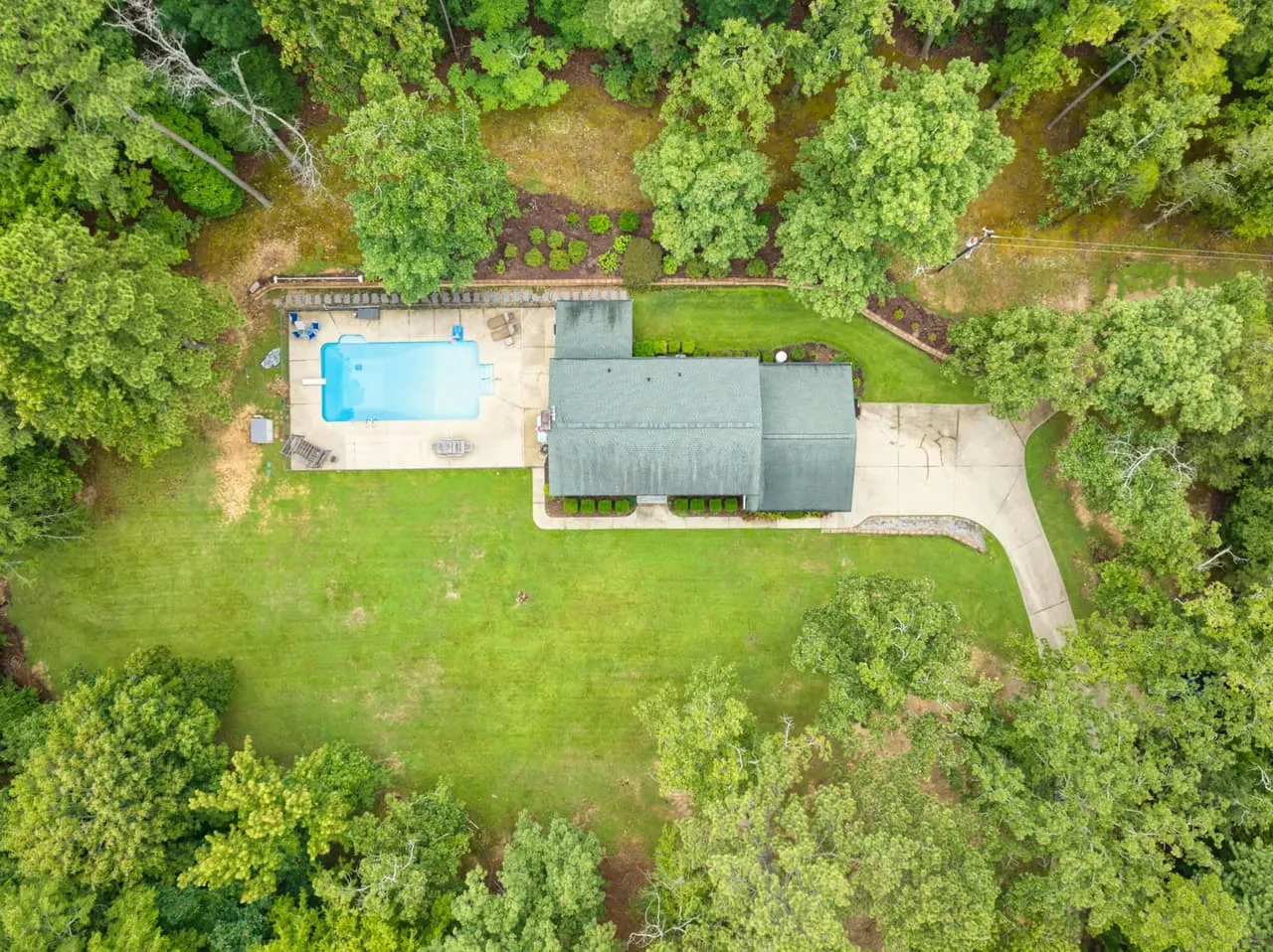
In South Carolina a lot of a property’s appeal is the land around it, which is why agents add aerials. Plenty of those aerials are filler: a wide shot from too high, pointed at the wrong side of the house, with a tilted horizon. This post is about the frame that earns its spot in the gallery and where it goes once you have it.
Altitude: keep the house the subject
Higher is not better. At 400 feet, the Part 107 limit for most flights, a house is a small rectangle and the frame turns into a map. Maps are useful, but they don’t sell a listing. Most residential aerials that work are flown between 60 and 150 feet, high enough to show the lot and low enough that the roofline and the yard still have texture.
Angle: come in at 30 to 45 degrees
A shot pointed straight down reads like a survey. Tilt the camera so it looks forward and down at roughly 30 to 45 degrees and you get the roofline, the yard and the horizon in one frame. The property starts to look like a place instead of a parcel. Keep the horizon level while you’re at it. A tilted horizon in an aerial is the same tell as a leaning door frame in an interior shot.
Light: aerials want the sun higher than ground photos do
Ground exteriors are shot in late light, and aerials usually are not. Fly with the sun behind or beside the drone so the front of the house is lit, which is why you want to know which way the front faces before you pick the window. The Upstate subdivision aerial post explains the timing and the haze problem in detail.
The shot list for a typical house
A flight is not one picture. For a standard residential property the plan looks like this:
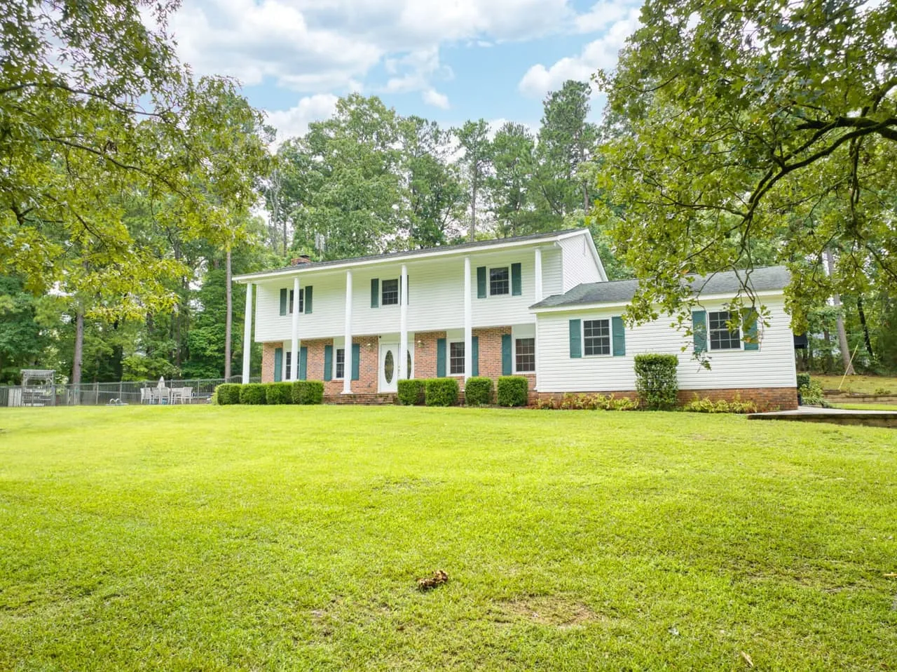
- A front elevation from around 80 feet, angled down, house centered with the driveway leading the eye in
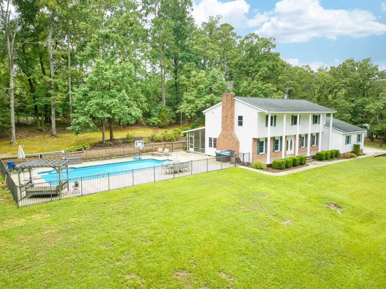
- A rear elevation showing the pool, the deck or whatever the backyard is selling
- Two corner obliques, so a buyer can read the shape of the house and the roofline
- A wider context frame that pulls in the street, the treeline and anything nearby worth knowing about
A real feature earns frames of its own: lake frontage, a barn, a long tree-lined approach. On acreage or waterfront, add a high frame that takes in the whole parcel. If you want property lines marked on it, treat them as an estimate. A line drawn on an aerial is a marketing illustration, not a survey, and the caption should say so.
Check the set before you accept it
Open the files at full size and look for:
- A sharp roof edge, not soft from wind or vibration.
- Shadows that leave the front of the house lit.
- Power lines, poles or a car slicing through the main frame.
- Anything you asked to have cleared that is still in the frame.
If a frame fails, ask for a reshoot or a different crop now, before it reaches the MLS.
Where the frames go
The common mistake is using the aerial as one hero image and forgetting it. One flight should feed several places.
On the MLS, lead with the strongest ground exterior and put the aerial second or third. It answers the question a buyer forms right after deciding they like the house: what sits around it.
On social, crop vertical. A wide aerial squeezed into a phone feed turns into a green smear with a roof in the middle. Ask for a version framed with room around the house, so a 4 by 5 or 9 by 16 crop from the same file doesn’t cut the roofline off.
In a listing presentation, the aerial shows a seller what their house looks like from 100 feet, which makes the marketing plan feel like something real. In a listing video, a short aerial is a natural opening shot. In print, an overhead tells a buyer more about the lot in one glance than three lines of description. And for a buyer looking from out of town, who can’t walk the street, the context frame is the closest thing to it.
Next steps
Not every property needs this. Our guide to which South Carolina listings need aerials helps you decide, how to prep a listing for the shoot covers the day itself, and the Upstate drone guide covers Greenville, Spartanburg and Anderson. When you’re ready, book a shoot.
If you’ve got a South Carolina property that deserves the full treatment, Beyond All Media shoots aerial photos and video along with interiors and 3D tours. Ring our South Carolina line at (864) 714-0724 or the Richmond office at (804) 913-3013 and we’ll get you scheduled.