
When to Shoot Aerials of South Carolina Lake and Foothills Properties
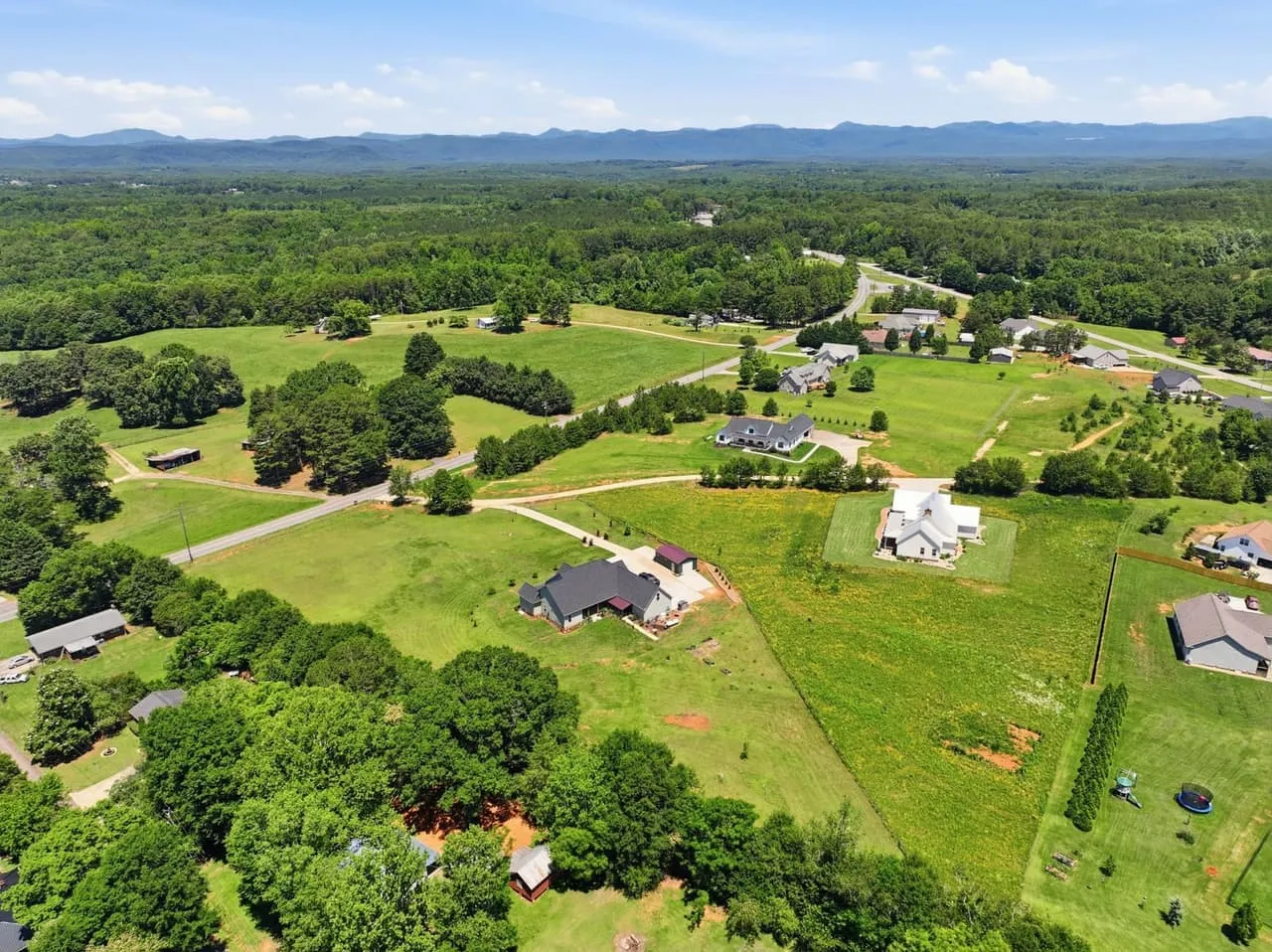
South Carolina packs a lot of landscape into one state, and a drone makes the most of it only when the day cooperates. The same foothills lot or lake cove can look flat and gray at noon and remarkable an hour after sunrise. This post is about timing and conditions for aerials of properties in the foothills, on the Upstate lakes and around Lake Murray, written for agents and owners deciding when to book. The frames of the house itself still want a higher sun, so the yard isn’t sitting in shadow. What follows is about the land and the water around it.
Foothills and the Blue Ridge Escarpment
The northwestern corner of the state rises into the Blue Ridge Escarpment, where Caesars Head and Table Rock overlook forested ridges. Late October into early November brings the color, and early morning in any season can bring fog that settles in the valleys below the escarpment. For a foothills lot where the ridge line is the selling point, that fog is the shot, and you only get it by being there early.
Jocassee and Keowee
Jocassee sits in the Jocassee Gorges, ringed by steep, forested shoreline, and Keowee sits just below it. Both are clear lakes that show their deep blue only when the light comes in at an angle, so the first two hours after sunrise or the last two before sunset are the window. Calm summer mornings are best, because wind picks up on the lakes by mid-morning and the surface loses its glass.
Water is the hardest subject
Point the camera anywhere near the sun at midday and the lake goes white. On every lake in this post, fly with the sun behind you or off to one side. Wind is the other half of it: once the surface breaks up, it stops holding the sky. If you only get one trip, go early. Give the aircraft a beat to settle before it starts to move, so the footage drifts smoothly instead of jerking.
Falls Park and downtown Greenville
For a downtown Greenville listing where the park is part of the pitch: the Reedy River drops over a series of falls beneath the curved Liberty Bridge in Falls Park, and an hour before sunset the brick and stone warm up. Check airspace first, because downtown sits inside controlled airspace around the Greenville Downtown Airport (GMU), and parts of the city fall inside that around Donaldson and GSP too.
Lake Murray
Lake Murray spreads out behind its dam with hundreds of miles of shoreline and quiet islands, including Bomb Island, where purple martins roost in large numbers on summer evenings. Golden hour suits it best. For a listing on the lake rather than a landscape, our Lake Murray field guide covers how to show what “lake access” means.
Lake Hartwell and Anderson
Hartwell sits west of Anderson with nearly a thousand miles of shoreline: coves, red-clay points and long highway bridges. Spring and early summer usually catch the water higher and the shoreline green instead of red clay.
Winter and lake levels
On the big reservoirs, levels can drop in late fall and winter, which leaves docks sitting high over bare clay and changes how a waterfront lot reads. If the waterline is part of the listing, spring through early fall is the safer window.
Rules to check before you drive out
Anything shot for a client, a listing or a business is commercial flight, so the pilot needs an FAA Part 107 certificate and a registered aircraft. The rest of the check is local. Parts of the Upstate fall in controlled airspace around GSP, Donaldson and GMU, and parts of the Columbia area around CAE. The mountain corners and outer lakes are mostly outside it, but easier is not the same as unrestricted. The hiring guide explains what to ask a pilot about all of that.
Land use is the other half. State parks, protected land and private shoreline each set their own rules about taking off and landing, and those rules get revised. Check before you drive two hours to Caesars Head or the Jocassee Gorges, not after you’re standing at the trailhead.
Next steps
For the general case on a South Carolina listing, see what makes a listing aerial work, and for Greenville, Spartanburg and Anderson properties, the Upstate drone guide. When you know the date, book a shoot.
For a property in the Upstate or around Columbia, Beyond All Media shoots the aerials. Call our South Carolina team at (864) 714-0724 or Richmond at (804) 913-3013.